Boundary Survey
 A Boundary Survey is to locate or establish property corners and property lines of a given parcel of land, including the discovery of visible indications or rights that may be acquired by prescription or adverse possession.
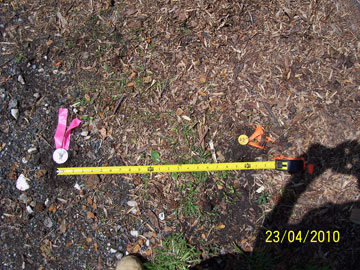
Remember, not all property markers are correct, here are examples of one that is wrong by 4’ and one that is wrong by 2’.

Member of the Better Business Bureau and Parkville-Carney Business and Professional Association.
Member of the Maryland Society of Surveyors.
Chairman of the Howard County Chapter of the Maryland Society of Surveyors.

